
Jefferson County ZIP Coverage
The official Missouri county ZIP dataset associates 23 postal-place rows with Jefferson County. This is a complete transcription of the research snapshot, not a claim that every delivery route or ZIP polygon is entirely inside the county. The data names postal places, not post-office facilities, so the third column preserves that distinction. Use USPS for a specific deliverable address and county mapping for parcel location.
| ZIP | Areas associated in the dataset | Postal place | County association note |
|---|---|---|---|
| 63010 | Arnold | Arnold | Confirm the exact address and city boundary. |
| 63012 | Barnhart | Barnhart | Postal place, not an automatic city limit. |
| 63016 | Cedar Hill | Cedar Hill | Postal place association. |
| 63019 | Crystal City | Crystal City | Incorporated-city association. |
| 63020 | De Soto, Valles Mines, Olympian Village | De Soto | Shared association, verify the street. |
| 63023 | Dittmer | Dittmer | Postal place association. |
| 63028 | Festus | Festus | Incorporated-city association. |
| 63030 | Fletcher | Fletcher | Postal place association. |
| 63041 | Grubville | Grubville | Postal place association. |
| 63047 | Hematite | Hematite | Postal place association. |
| 63048 | Herculaneum | Herculaneum | Incorporated-city association. |
| 63049 | High Ridge | High Ridge | Postal place association. |
| 63050 | Hillsboro | Hillsboro | County-seat city association. |
| 63051 | House Springs | House Springs | Postal place association. |
| 63052 | Imperial, Otto | Imperial | Shared place association. |
| 63053 | Imperial, Kimmswick | Imperial | Shared place association. |
| 63057 | Liguori | Liguori | Postal place association. |
| 63060 | Lonedell | Lonedell | Postal place association. |
| 63065 | Mapaville | Mapaville | Postal place association. |
| 63066 | Morse Mill | Morse Mill | Postal place association. |
| 63070 | Pevely | Pevely | Incorporated-city association. |
| 63072 | Robertsville | Robertsville | Postal place association. |
| 63087 | Valles Mines | Valles Mines | Postal place association. |
Imperial and Valles Mines appear in more than one association. That is exactly why an abbreviated town-and-ZIP list is too thin for Jefferson County. A street address, parcel, and delivery validation are needed before a record result is assigned to a place.
Find Jefferson County by ZIP
A ZIP directory search should begin with validation, then move from postal routing to county land records. The Assessor offers ZIP within both physical and mailing advanced criteria. Those fields answer different questions. The GIS guide documents address, city, and parcel-ID searching, but no separate ZIP field. The Recorder's deed index is generally organized by parties, documents, dates, and legal descriptions rather than ZIP.
- Use the USPS ZIP Code Lookup to validate the complete delivery address and record the postal city.
- Enter the address or ZIP in the Assessor's physical criteria; if it misses, remove apartment or suffix punctuation and try the road name or owner.
- Save the parcel ID and open it in the county map to check parcel, municipal, taxing, and political context.
- Use the County Clerk only through the voter-list or precinct-register rules for a restricted ZIP or street question.
- For older locations, search the historic road name, locality, plat, newspaper, and deed legal description instead of applying a modern ZIP backward.
Once the ZIP points to a particular road, the address chain belongs on the Jefferson County by-street page. A ZIP helps narrow geography, but parcel and legal-description work is the evidence for a particular property.
Jefferson County ZIP Search Fields
The Jefferson County Assessor Devnet portal provides the most direct documented local ZIP search. Its advanced criteria distinguish a physical address from a mailing address, including ZIP where exposed. Search an address and ZIP as a location key, then evaluate the returned owner label, mailing field, and parcel information separately. A county tax record is not a population list.
| Portal field | Field type | ZIP-related use | Meaning |
|---|---|---|---|
| Owner | Name text | Refines a property result after a ZIP search. | Tax-roll association, not occupancy. |
| Parcel ID | Identifier text | Moves a result into GIS. | Stable cross-system key. |
| Property address | Address search | Finds a physical or situs location. | Use with USPS-validated delivery detail. |
| Road name | Street search | Fallback when an exact format fails. | Try suffix variants. |
| Physical criteria | Advanced fields | Uses the parcel location and its ZIP. | Best local ZIP filter. |
| Mailing criteria | Advanced fields | Uses correspondence ZIP information. | May be outside the parcel area. |
The county notes that GIS data and tax rolls can also be obtained through its public counter or purchase routes. That is a local fallback when an online filter needs help. For a one-person identity question, the Missouri voter portal instead requires exact first name, last name, date of birth, last four Social Security digits, and county. It does not expose a ZIP filter.
Jefferson County ZIP Map Check
After an Assessor result supplies a parcel ID, use the Jefferson County GIS data and maps route and Property Viewer to confirm the physical parcel. The map can show property boundaries, ownership context, physical characteristics, tax entities, roads, subdivision text, floodplain, and political layers. It helps identify the county context that a postal label alone cannot provide. The county warns that its GIS does not replace a recorded plat or a licensed boundary survey.
The county GIS data and maps page is the source for this ZIP and parcel geography view.
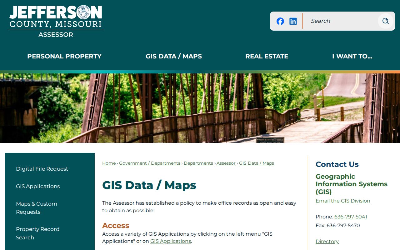
The map image supports parcel and layer verification after a postal lookup. It does not depict a current ZIP boundary shapefile, and the research did not download one. Compare any map result with USPS delivery validation.
Jefferson County Postal City Labels
Postal cities and incorporated cities do not use the same boundary system. A Jefferson County address may carry a postal city that differs from its municipality, and a ZIP may cross municipal or county lines. Imperial has associations in both 63052 and 63053, while Valles Mines appears with the shared 63020 association and with 63087. These labels describe delivery geography, not a ruling on local government jurisdiction.
The county includes incorporated cities and large postal or unincorporated places. That makes the ZIP code directory useful for organizing a search, but never sufficient to decide whether a property is inside Arnold, Hillsboro, or an unincorporated area. The Property Viewer and the relevant municipal record custodian resolve the local boundary question.
Jefferson County ZIP Boundaries
USPS delivery codes are routing tools. Census ZIP Code Tabulation Areas, or ZCTAs, are generalized statistical polygons. The Census ZCTA guidance says that not every valid ZIP has a ZCTA and that a ZCTA can be noncontiguous, unique or institutional, or PO-box-only. Neither ZCTAs nor USPS delivery routes are designed to follow county or city limits.
- ZIP
- A USPS delivery routing code, best confirmed against a complete address.
- ZIP+4
- An added delivery-segment code that narrows mail routing beyond the five-digit ZIP.
- PO-box ZIP
- A ZIP used for post-office-box delivery and not necessarily a surrounding street area.
- Unique ZIP
- A ZIP assigned to a single organization or delivery purpose, which may not have a matching ZCTA.
- Carrier route
- A postal delivery sequence within an area; it is not a city or parcel boundary.
Note: USPS validates mail delivery, while Census geography supports statistics and county GIS confirms a parcel's local setting.
Jefferson County ZIP Access Routes
Several documented channels may help, but each has limits. USPS supplies exact address validation. The Assessor has ZIP-capable physical and mailing criteria. Property Viewer supplies parcel context after an address or parcel ID is known. The Missouri State Highway Patrol registry map accepts ZIP together with street number, street name, city, state, and distance, and its criteria and disclaimers all apply. It is a specialized statutory registry tool, not a general resident list.
The County Clerk voter-list route requires its own form, allows up to five business days, and applies state purpose restrictions. Precinct registers may be inspected under security rules. The state voter lookup is an exact-identity tool, not a ZIP directory. The Recorder land index can help only after a parcel or party name leads to a legal description. For a portal failure, the County Clerk is also the custodian for county public-records requests under the Missouri Sunshine Law.
Jefferson County Historic ZIP Research
No official source in the research documents a named Jefferson County ZIP realignment or a ZIP-code change history. State plainly that no verified local realignment was located. A change in postal place name can be unrelated to a municipal annexation or a street renumbering. USPS address-history confirmation, local post-office material, historical newspapers, and maps are the proper follow-up routes.
For an older property, use the Recorder's legal description and parcel history as the bridge, then compare historical street names, plats, census enumeration geography, and newspapers. The county's 1818 organization and early Herculaneum-to-Hillsboro county-seat change are additional filing-context cautions, not evidence that a person lived at the county seat. A modern postal ZIP is a poor substitute for dated location evidence.
Jefferson County USPS Validation
USPS ZIP Code Lookup is the final delivery check for an exact Jefferson County address. Start there when a property record carries an unfamiliar town name, when two nearby addresses share an unexpected postal label, or when the county dataset provides more than one place association. Capture the address as validated, then compare it with the physical parcel and legal record.
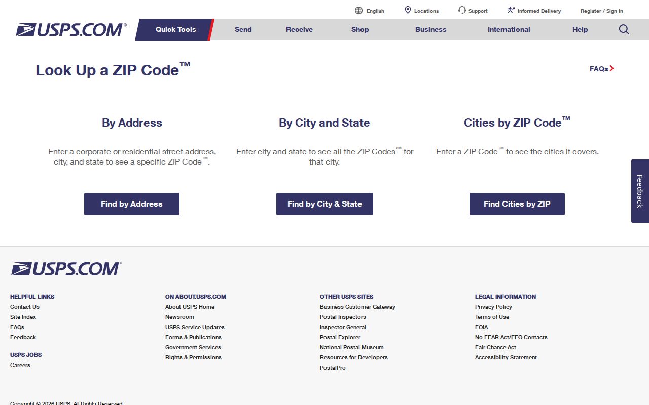
The USPS image shows the address-validation source, not an official list of people in a ZIP. Keep the postal result, the Assessor's physical and mailing fields, and the GIS parcel location as separate pieces of evidence.