
Jefferson County Neighbors Source Coverage
A block search in Jefferson County is built from records that describe land, civic geography, or lawful voter access. The Property Viewer displays parcel context. The Assessor ties a parcel to tax-roll fields. The Recorder supplies recorded instruments, and the County Clerk controls voter-list and precinct-register access. These sources can help identify the records connected to nearby parcels. They do not create a public roster of households, renters, guests, or utility customers.
| Source | What it shows about a block | Access |
|---|---|---|
| Jefferson County Property Viewer | Parcel lines, roads, subdivision context, map layers, and parcel popups | No login; map data is assessment and taxing context |
| Assessor property search | Owner label, parcel ID, physical and mailing criteria | Online search and public counter computers |
| Recorder land index | Grantor, grantee, instrument, date, and legal-description trail | Current and older land-search routes |
| County voter records | Lawfully available voter or precinct information, subject to restrictions | Exact-data lookup, paid list, or secure inspection |
| Community program sources | Documented participation information, not resident names | Municipal program or custodian |
Start with the map because it fixes the physical area. Then decide whether a parcel question needs an Assessor field, a recorded document, or no further personal information at all.
Locate a Jefferson County Neighbor Parcel First
The county’s Property Viewer accepts an address, city, or parcel ID. Select a search suggestion to zoom to the place and view its detail. The guide directs users to enter a parcel ID without dots, dashes, or spaces. It also documents map layers, search-map controls, drawing, measuring, rectangular selection, printing, coordinate conversion, bookmarks, and PLSS Query. The viewer does not require a login, and its guide notes that an F5 refresh can clear a cache problem.
Use the situs or physical address to locate the place. A mailing address may belong elsewhere and should not be used as a shortcut for who lives at the parcel. The county’s GIS warning is equally important: the map is for assessment and taxing purposes, not a boundary survey. A recorded plat or a licensed surveyor is the proper route for a legal boundary question.
Map a Jefferson County Neighbor Block Parcel
Once the target parcel is visible, the block method moves outward only to the parcels that share an edge, corner, road frontage, or immediate map relationship. This produces a reproducible record trail instead of an unsupported guess about nearby households. Save the map date because ownership and map data can change. A parcel ID is the stable key for repeating the same search across county systems.
- Search the target address or parcel ID in the Property Viewer and confirm the map point, parcel outline, road, and subdivision context.
- Use the surrounding parcel lines to select the immediate lots. Record only the nearby parcel IDs needed for the block question.
- Repeat the Assessor search for each parcel, noting the owner label, situs address, and any separate mailing address without treating it as occupancy proof.
- When a document is needed, search the Recorder by grantor or grantee and compare its legal description, instrument type, and date to the same parcel.
- Stop when the public record no longer answers the question. Do not widen a block search into a list of personal details.
For a longer named-road record chain, the Jefferson County by-street directory follows the separate street-level method.
Read Jefferson County Neighbor Civic Layers
The county GIS layers add place information without creating a person list. Available map context includes aerial photography, contours, floodplain, ownership, parcel lines, roads, subdivision lot lines and text, taxing districts, county council districts, legislative districts, townships, voting precincts, and PLSS locator information. The Property Viewer popup can display parcel boundary, physical characteristics, ownership context, taxing entities, and a data-currency indicator.
Fire, ambulance, municipal, school, and special-road district layers help explain which public bodies serve an area. Political and precinct layers help identify civic geography. Those layers are useful for understanding a block, but a precinct boundary does not establish who lives at any particular lot.
Note: Jefferson County civic layers explain place and service boundaries, not a household’s identity or daily presence.
Repeat Jefferson County Neighbor Owner Checks
The Assessor’s Devnet search offers owner, parcel ID, property address, road name, physical-address criteria, and mailing-address criteria. Use the parcel ID to connect a map point to the tax-roll record. The owner label is a legal or tax association. It is not a resident list. A mailing field can identify where tax notices go, which may be outside the county, city, or ZIP of the property.
The Recorder adds a different kind of evidence. Its current Fidlar/Tapestry land index begins April 1, 1985. An older COTT/RecordHub route is listed back to 1819 on Quick Links and to 1817 in the FAQ, so verify the oldest available book or image with the office. A deed or plat is tied to a legal description, not merely a street number. Security instruments, releases, easements, and restrictions can show a property connection without transferring ownership.
Note: Record the parcel, legal description, and document date together, because a loose street-name match can join the wrong property.
Jefferson County Voter Records at Block Level
Missouri’s online voter lookup is designed for an exact-data, one-person search. It asks for registered first name, last name, date of birth, last four Social Security digits, and county. It has no ZIP or street-browse field. A block question instead belongs with the County Clerk’s voter-list procedure or a precinct register, where the law permits inspection at reasonable times but requires security. Protected records remain protected.
The Jefferson County voter-list information documents the county’s request, delivery, cost, and use restrictions.
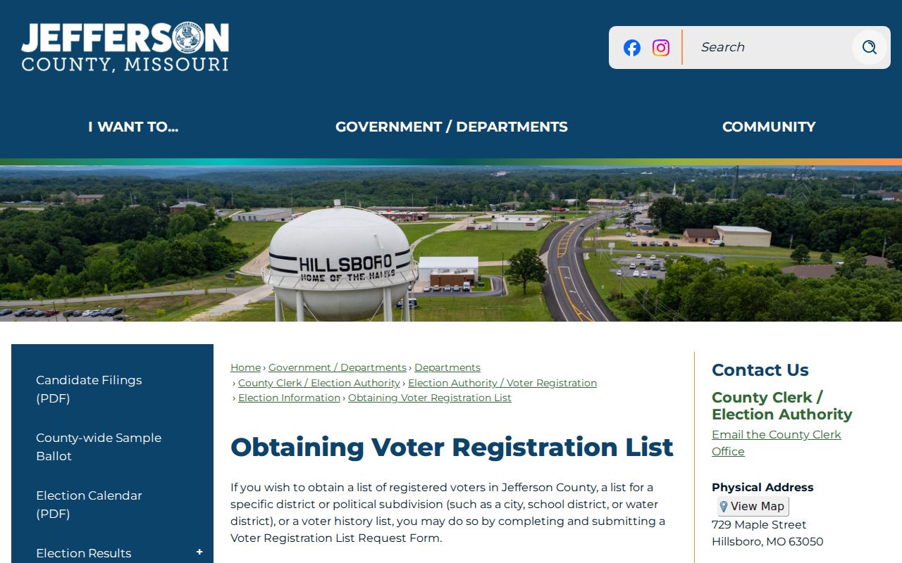
The County Clerk requires its voter-list request form and says delivery can take up to five business days. The stated prices are $50 for the full county, $25 for a partial county, and $6 for a supplied jump drive. The county describes the delivered list as full voter name, address, and precinct, excluding birth date, phone, party, and Social Security number. The form limits use to elections, candidates, or ballot measures and prohibits commercial use.
Note: A protected address or no-result must remain protected and cannot be resolved by combining unrelated Jefferson County sources.
Jefferson County Neighborhood Watch Has No Roster
Arnold’s municipal Neighborhood Watch program is a documented community layer within Jefferson County. It describes neighborhood activity, police contact, and participation requirements. It does not publish member names, household names, or a block directory. That distinction makes it useful for learning how a local program operates, not for identifying private residents.
The official Arnold Neighborhood Watch page describes the program without supplying a resident roster.
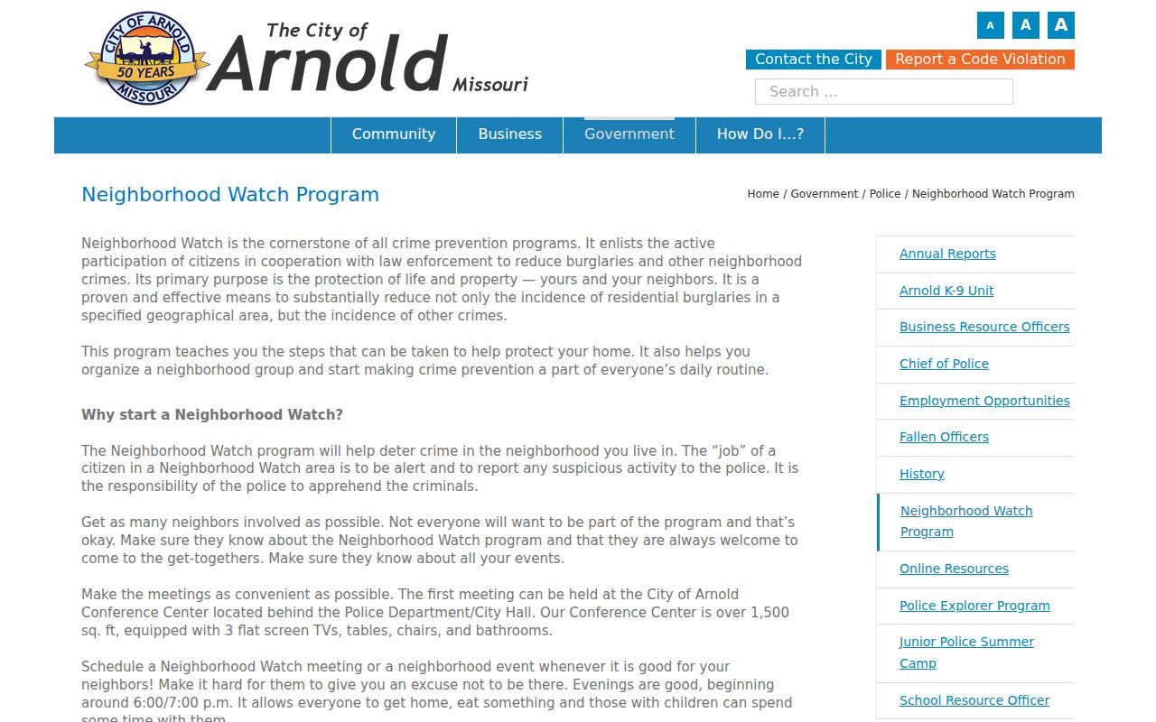
Use the program contact route for participation or neighborhood-safety questions. Do not treat a missing name as evidence that a person is not part of a community or that no neighborhood group exists.
Jefferson County Neighbor Community Source Limits
Research identified a municipal program and its clerk layer, but no official countywide neighborhood-association directory or public block resident roster. Municipal clerks and verified HOA records are the appropriate starting points for a specific community question. An unverified online roster should not be substituted for a custodian’s record.
Arnold Neighborhood Watch
Arnold’s program page provides participation and police-contact information. It does not provide member or household names.
Arnold City Clerk
Arnold City Clerk is the municipal custodian for city records, licenses, minutes, and legal notices. Ask for a specific public record, not a neighborhood roster.
Countywide association gap
No official Jefferson County umbrella association directory was located. Confirm a particular HOA or civic contact with its municipality or documented association.
The Jefferson County Library and the Jefferson County Missouri Heritage & Historical Society can assist with older neighborhood context, but neither source establishes a current community membership list. Historical information belongs with its source date.
Note: Confirm a named association with its documented contact rather than relying on an unverified Jefferson County list.
Jefferson County Neighbors Need Source Limits
Official block records name a custodian, describe their limits, and let a reader check a date or instrument. Commercial neighbor-finding categories may combine old filings, unclear source dates, and unsupported household claims. A parcel map is more limited, but it makes clear whether the result concerns land, ownership, civic geography, or a public recorded document.
| Official source | Commercial category | Practical difference |
|---|---|---|
| Assessor and GIS parcel record | Neighbor-finding profile | County fields identify a parcel or tax-roll association; a profile may not identify its source date or occupancy basis. |
| Recorder instrument | Aggregated property summary | The recorded document has a party role, date, and legal description; a summary can omit context or repeat an old transfer. |
| County Clerk voter procedure | Bulk contact list | County access has a stated legal purpose and protected-address limits; a generic list may not show what is current or permitted. |
The right result is sometimes a narrow answer: adjoining parcel, tax-roll owner, or precinct boundary. It is not a claim about every person who may be present at a home.
Protect Jefferson County Neighbors
Adjacent does not mean the same as a neighboring household. GIS shows parcels, not occupants. A deed identifies grantors or grantees, a permit may identify an owner, contractor, or applicant, and a voter record may identify a registered voter under restricted rules. Utility customers, delivery recipients, renters, and household members are not included in this county parcel workflow. Keep the record’s role and date with every note.
Missouri Safe at Home and RSMo §115.157 protect qualifying voter addresses. If a result omits an address or shows a substitute address, preserve that protection. Do not cross-reference another source to defeat it. For an Assessor or GIS error, contact the county office about correction; for a voter or court protection issue, contact the responsible custodian about the correct process.