
Jefferson County Historic Households by Era
Start an address history with an era table, not a name list. Put the modern parcel identifier and legal description at the top. Then record each transfer, tax or permit event, census household, newspaper or NIDB reference, voter or historical clue, and map source below it. Label every item by its role: owner, mailing contact, legal party, applicant, registered voter, newspaper subject, or probable household member. That discipline prevents a record of ownership from becoming an unsupported claim of continuous occupancy.
| Source | Years it covers | Where held | What it can show |
|---|---|---|---|
| Recorder current land index | April 1, 1985 to present | Fidlar/Tapestry | Parties, instrument details, and a route to document images |
| Recorder older land index | Back to 1819 on Quick Links; 1817 in the FAQ | COTT/RecordHub and Recorder | Earlier grantor-grantee trail; oldest online coverage needs confirmation |
| Local newspaper evidence | Title-specific runs, including 1866-1940 Jefferson Democrat | Library index and microfilm | Dated notices, events, probate, deaths, marriages, and other references |
| Federal census | Public under the 72-year release rule; 1950 public in 2022 | National Archives and library databases | Household and geographic snapshot, not a current roll |
| De Soto Sanborn | May 1893, five sheets | Library of Congress | Built environment and street context, not person identity |
| Historical Society sources | Series-specific, including courts and voter history | Society transcriptions and projects | Dated local-person and county-history leads with stated limits |
City directories are a useful historical layer only when a title and year are confirmed. The reviewed sources did not establish a Jefferson County publisher or year run, so the table does not pretend that one exists.
Note: A good era table records both what a source proves and what that source cannot prove about an address.
Jefferson County Parcel Anchor
For previous residents, begin with the Jefferson County Assessor search or the Property Viewer. The county documents searches by owner, parcel ID, property address, road name, and advanced physical or mailing criteria. Use the situs, or physical, address to identify the parcel. Then preserve the parcel ID, subdivision or lot hint, and legal-description information before opening Recorder records. The map can show ownership data, physical characteristics, parcel boundaries, and taxing entities, but its data is for assessment and taxing.
| Parcel ID | The stable link between Assessor, GIS, Collector, Recorder, permits, and taxing records. The viewer guide says to enter it without punctuation, spaces, or dashes. |
|---|---|
| Situs address | The physical location of the parcel. It is more useful than a mailing address for locating the property. |
| Mailing address | The destination for tax notices or owner correspondence. It may be outside Jefferson County and is not proof of occupancy. |
| Legal description | The recorded lot, block, plat, metes-and-bounds, or township-range language used to follow the same land across records. |
| Map context | Parcel lines, roads, subdivision text, and taxing or political layers that help verify the place. |
The county cautions that its GIS maps are not a boundary survey. For a legal boundary question, use a recorded plat or a licensed surveyor. For an address history, the goal is narrower: connect a modern address to the legal description before following names through the Recorder.
Jefferson County Deed Chain
The Recorder keeps recorded instruments, not a simple list of who lived at an address. A deed index names the grantor, the person transferring an interest, and the grantee, the person receiving it. It may also point to an instrument type, date, book and page, or document number. The recorded legal description is the anchor because the county says an address is not a legal description. A street number can change while a lot, plat, or township-range description provides the stronger link.
- Use the Assessor or GIS record to note the current parcel ID, situs address, owner label, and legal-description hint.
- Search the current owner as grantee in the Recorder index and locate the acquisition deed.
- Read the preceding grantor and legal description, then search that earlier owner as grantee for the prior acquisition.
- Repeat backward while logging instrument date, type, book or document number, and exact legal-description wording.
- Check initials, married names, trusts, estates, corporate grantees, misspellings, and survivorship language when a chain appears to stop.
- Keep deeds of trust, releases, easements, restrictions, and plats separate from true transfers because they can relate to land without transferring ownership.
- Grantor
- The party who transfers an interest in a recorded instrument.
- Grantee
- The party who receives that interest. A grantee can be an individual, trust, estate, or organization.
- Chain of title
- The dated sequence of transfers for the same legal description, traced backward from the current recorded party.
- Plat
- A recorded map of lots, blocks, streets, or subdivisions that can help connect an address to its legal description.
Jefferson County Older Index Divide
The county splits online land searching into two periods. Fidlar/Tapestry is identified for April 1, 1985 to the present. COTT/RecordHub is identified for March 31, 1985 back to 1819 in the Quick Links, while the Recorder FAQ says the older route reaches 1817. Those official statements conflict. Record the discrepancy in the research log and ask the Recorder which earliest book, image, or index is available for the particular transfer.
The Recorder FAQ also describes pay-per-search access at $8.95 plus $1 per copied page, as well as Laredo and COTT subscription options. An index result can lead to an image that is free, paid, subscription-gated, or available only at the office. Do not assume that online index coverage means every document image is viewable from home.
The Recorder's older COTT/RecordHub route is the documented starting point for the earlier online period.
Use the older index with the same legal-description checks used for the current search, especially when an older street label or parcel description differs from the modern address.
Note: The 1817 versus 1819 difference is a documented county-source discrepancy, not a reason to claim either date as final coverage.
Jefferson County Past Household Census Pairing
Ownership is only one layer of a past-resident trail. Use a census to establish a household and approximate geography, then compare that snapshot with a dated newspaper reference, a deed, a voter-history clue, or a confirmed directory. The 1950 census became public in 2022 under the federal 72-year release practice. Census geography can change, so compare township, ward, municipal, and street labels before calling two entries the same address.
Record flow: parcel ID and legal description, then deed transfer, then confirmed directory or newspaper date, then census household, then a probate, obituary, permit, or map lead where appropriate.
- Write the transfer date and legal description beside the address used at that time.
- Check whether a local directory title or reverse directory is actually available for the gap between census years.
- Where no local volume is confirmed, search NIDB and the title-specific newspaper microfilm instead.
- Compare names, ages, relatives, township, and address wording with the nearest public census.
- Mark each conclusion as ownership, household evidence, or a contextual lead rather than merging those categories.
The historical collections themselves, including their local coverage limits, are described in the Jefferson County city directories collection reference. No Jefferson County criss-cross or reverse-directory run was verified in the reviewed sources.
Jefferson County Newspaper Trail
The Jefferson County Library's local-history archives supply microfilm, newspaper indexes, photographs, oral histories, and books for an address history. NIDB indexes names as the newspaper spells them and records subject, paper date, page and column, paper title, and keywords. Its stated categories are births, deaths, marriages, probate, and divorce. Political, school, and social entries are excluded, so a no-result should not be treated as proof that a person had no local connection.
For a historical place, title runs matter. Jefferson Democrat is listed from 1866-1940, Jefferson Watchman from 1883-1884, and De Soto Press from 1896-1966. A microfilm article can supply a date and publication context to place alongside a transfer or census record, but it remains a newspaper reference rather than occupancy proof.
The Jefferson County Library archives provide the confirmed local-history route for these newspaper and microfilm holdings.
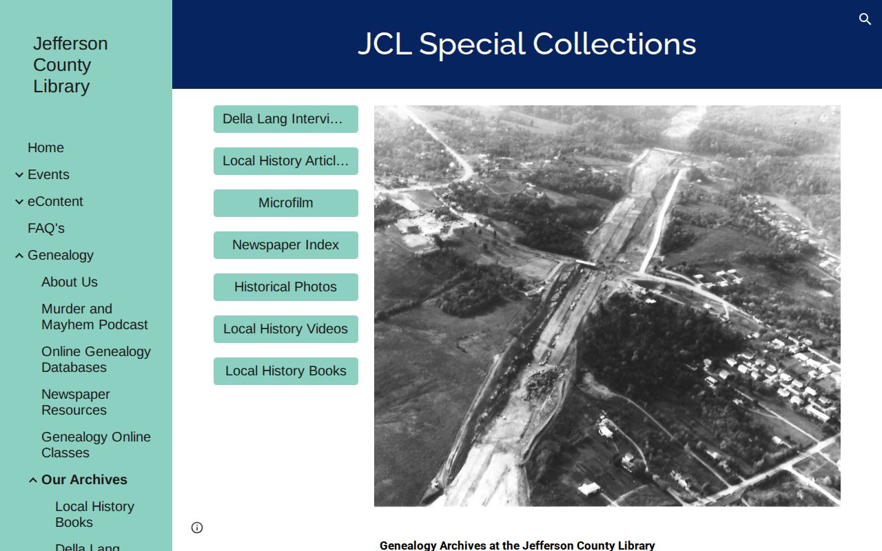
Use the library's research service or an appointment to request a focused check with no more than five names, variants, an approximate date, and the address or legal description.
Jefferson County Record Geography
An early county record can carry a place name that does not match the later office location. Jefferson County was organized in 1818, its first court sat in 1819, and Herculaneum was the original county seat. The seat moved to Hillsboro in the 1830s. The State Historical Society's Jefferson County Missouri Papers finding aid covers 1818-1826 county-seat and township material, including the 1826 petition to move the seat.
| 1818 | Jefferson County was organized. |
|---|---|
| 1819 | The first county court sat in Herculaneum. |
| 1826 | State Historical Society material includes the county-seat removal petition. |
| 1830s | The county seat moved to Hillsboro. |
A name in an 1820s county-seat paper may identify the place of filing rather than a person's home. Later deeds, tax records, newspapers, and court filings can use a different town, ward, township, or postal label.
Jefferson County De Soto 1893 Context
The Library of Congress De Soto Sanborn item is a May 1893 map made up of five sheets. It is a precise built-environment source for De Soto only, not a countywide Sanborn series. Use it to examine streets, buildings, and uses at that point in time, then compare it with a deed's legal description, newspaper dates, census geography, or a confirmed historical address.
A Sanborn sheet cannot prove who lived in a building. It is most useful when it tests whether an address, lot, or historic structure fits the physical setting described by another dated record.
Jefferson County Historic Resident Sources
The Jefferson County Missouri Heritage & Historical Society court material offers distinct historical leads: the first county court, judges from 1819-1941, sheriffs from 1821-2018, inquest bills from 1906-1918, county-farm burials, a 1907 docket, descendants from 1899-1915, and divorce petitions from 1819-1843. Its history articles also include registered voters in 1866, postmasters from 1832-1971, telephone history, newspapers, cemeteries, and local institutions.
Use these sources to identify a date or a repository, then classify what the entry represents. A voter list reflects a dated registration record. A postmaster list reflects a public role. A court transcription reflects the series described by the society. None is a complete household history for an address.
The Historical Society's collections and projects are a documented path when Recorder and library sources leave an early gap.
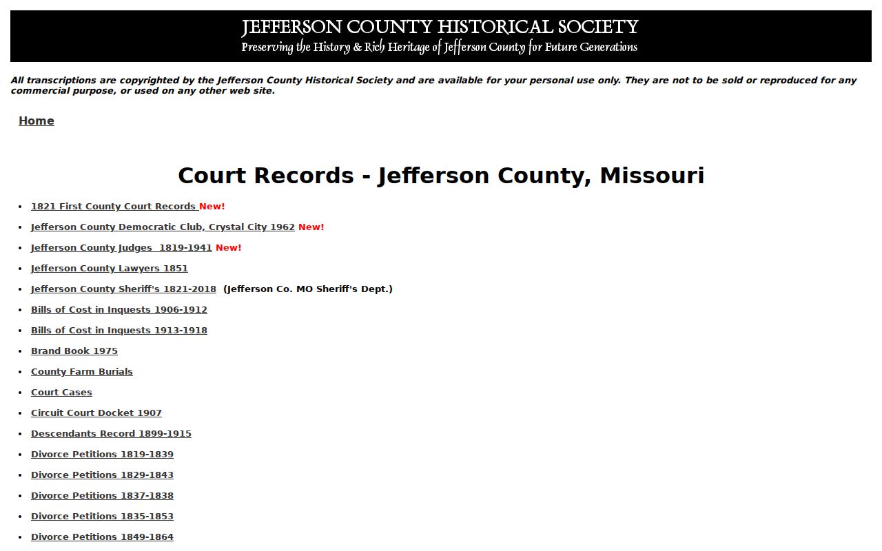
Historical transcriptions add local context to a careful address timeline, subject to their personal-use terms and the limits of each series.
Jefferson County Past Resident Limits
No official Jefferson County source in the reviewed set documents a countywide street-renumbering event with a date. No complete local city-directory publisher or year run was verified either. When an old street number does not fit a current address, use the legal description, parcel ID, plat, township-range information, historical newspaper, post-office trail, and the relevant municipal or 9-1-1 addressing office. Do not invent a renumbering history to make two records fit.
No official source reviewed identified a specific Jefferson County courthouse fire, flood, or destroyed decade. Early papers and microfilm finding aids exist through the State Historical Society, Missouri State Archives, Recorder, and Historical Society, but an absent portal image does not prove that a record was destroyed or never existed.
Lawful use. Jefferson County past-resident research is appropriate for family history, heir work, property history, and personal curiosity. Never use records to stalk, harass, or harm a living person.